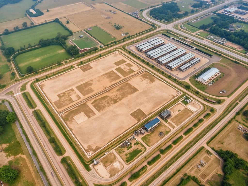
Drone & Aerial Survey
UAV surveys for site mapping, terrain modelling and volume calculations.
- GeoTIFF orthomosaic
- 3D mesh & point cloud
- DSM & DTM
Aizawl, Mizoram
LDR Survey Pvt Ltd
Land, topographical and drone mapping for your project in Mizoram. Discuss your site, survey scope and required deliverables with our team.
Since 1998
Surveying experience
DGPS & UAV
Survey technology
CAD / PDF / GIS
Survey deliverables
Pan-India
Project coverage
Survey services · Mizoram
From land boundaries to aerial terrain models, the survey scope is tailored to your site and the outputs needed for design, planning or construction in Aizawl.
UAV surveys for site mapping, terrain modelling and volume calculations.

Terrain levels, contours and site features for engineering and planning.
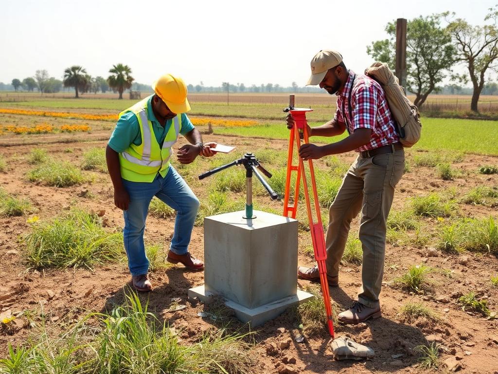
Total-station and DGPS measurements for land boundaries and site layouts.
Your survey requirements
Share the site location, approximate area and purpose of your survey. Our team can discuss access, measurement methods and the required drawing or mapping formats.
Site location, area, access and survey purpose.
Survey methods, required deliverables and project schedule.
Field measurements and mapping outputs for the agreed scope.
Discuss your site and request a quotation from LDR Survey.