Land Survey Service

"The Initial Step Towards Regularizing Your Property Is A Land Survey. Obtain A Clear Image Of The Place Of Your Land's Legalized Boundary And Other Information."
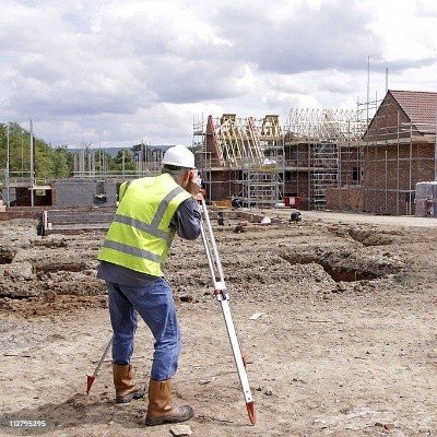
Land Survey are directed to build up the specific location, limits, or development of a plot of land in any stated area. This kind of survey requires proficient registration in all states. As of now, land surveys, by and large, include the accompanying tasks:
- Establishing markers or landmarks to characterize and along these lines protect the limits of land having a place with a private concern, a corporation, or the government.
- Rerunning old land survey lines to decide their lengths and aspect. Because of the significant expense of land, old lines are remeasured to get more exact estimations.
- Calculating areas, distances, and headings and setting up the land guide to representing the survey information with the goal that it very well may be utilized as a lasting record
- Writing a specialized description for the plan.